Undivided 4% Interest in 45 Acres on Bayou Lafourche
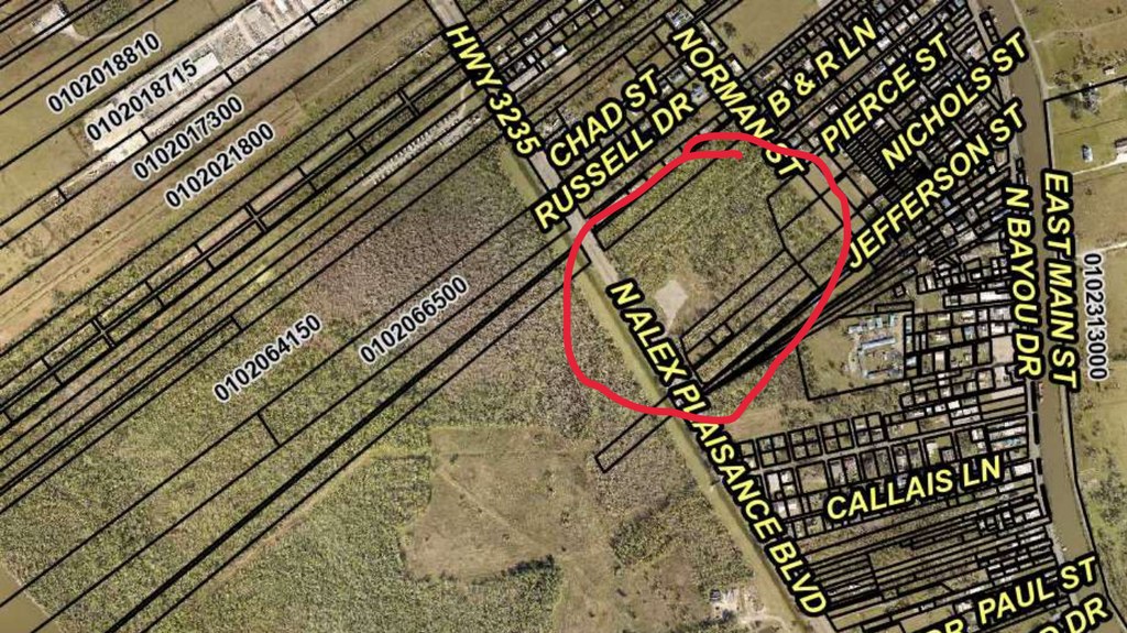
This is a fractional interest, not a parcel, and it is listed that way on purpose. What is offered is an undivided one-half of an undivided 8.0499962% interest - about 4.025% - in a 45-acre tract in Lafourche Parish. In equivalent area that is roughly 1.8 acres, but it does not come as 1.8 acres you can walk a boundary around. An undivided owner holds a share of the whole, alongside the other owners, and cannot take exclusive possession of any part of it without agreement or a partition suit.
The tract sits on the western edge of the town of Golden Meadow, between the Highway 3235 corridor and North Alex Plaisance Boulevard, with the residential blocks of Norman Street, Russell Drive and Chad Street along its northern side. The 1937 deed describes it as lying on the right descending bank of Bayou Lafourche, in Section 67, Township 19 South, Range 21 East, beginning about ten arpents back from the bayou - and that is exactly what it is. The ten arpents of front land between the tract and the water is the town itself.
There was a well here. The Griffin No. 1, in the Golden Meadow Field, within the unit designated 10,800 foot TEX WO RA SUA. Its operator, LLOX, plugged and abandoned the well in July 2024 and removed all equipment from the site, and confirmed in writing that LLOX retains total liability for its operations on the property. The cleared ground of the former production pad, about three acres, is still visible on the aerial. Both the surface and the minerals are conveyed, to the extent the grantor held them, which is roughly 1.8 net acres of each.
The chain is documented and unusually long. The Nature Conservancy took the interest by Act of Donation from World Wildlife Fund, Inc. in July 2024, and before that it runs through the Succession of G. Wray Gill, Sr. in 1984, an agreement of 1952 that reduced the Gill half to 10.714285%, and the original 1937 conveyance from Mary Williams Pierre et al recorded at COB 81, folio 556.
Read the disclosures below before making an offer. This interest came by quitclaim without warranty, no survey has ever been made, and no title examination was performed. Those are real limitations and they are set out plainly rather than buried. The buyer this suits is someone who already has a position here - a co-owner of the remaining share, a neighbour, or a mineral buyer working the Golden Meadow Field - and who can price those unknowns for themselves.
What stands out
- Undivided 4.025% interest in a 45-acre tract
- Surface and minerals both conveyed, to the extent the grantor held them
- On the edge of Golden Meadow, off North Alex Plaisance Boulevard
- Former Griffin No. 1 well site, plugged and abandoned by the operator in July 2024
- Chain of title documented back to 1937
The details
| Parish | Lafourche Parish, Louisiana |
|---|---|
| Interest held | An undivided one-half of an undivided 8.0499962% interest, about 4.025% |
| Tract | 45 acres, more or less, Section 67, Township 19 South, Range 21 East |
| Location | Western edge of Golden Meadow, between the Highway 3235 corridor and North Alex Plaisance Boulevard; about ten arpents back from Bayou Lafourche |
| Bounded | North by James Pitre; south by Jos. Nicol et al; east by Aycock, Gravois, Adams, Terrebonne and Nicol; west by Louisiana Land and Exploration Company |
| Former well | Griffin No. 1, Golden Meadow Field, unit 10,800 ft TEX WO RA SUA. Plugged and abandoned by the operator, LLOX, in July 2024, with all equipment removed. |
| Acquired | Quitclaim from The Nature Conservancy, recorded 7 May 2026 |
| Conveyance | Quitclaim without warranty, covering surface and minerals; no survey was made |
| Grantor's title | Act of Donation from World Wildlife Fund, Inc. to The Nature Conservancy, 11 July 2024, Instrument 1374560, Book 2298, Page 760 |
| Earlier chain | Mary Williams Pierre et al to Warren M. Simon and G. W. Gill, 1937, 42.857142%; the Gill half reduced to 10.714285% by agreement in 1952; Succession of G. Wray Gill, Sr., 1984 |
| Mineral, gas & water rights | Conveyed with the interest, to the extent the grantor held any. About 1.8 net mineral acres. |
Before you buy this parcel
- This is an undivided minority interest, not a parcel. The holder shares ownership of the whole tract with the other owners, cannot take exclusive possession of any part of it, and cannot divide it without the agreement of the co-owners or a partition suit.
- Title came by quitclaim without warranty. A quitclaim conveys only whatever the grantor actually had, which may be nothing. The deed expressly waives production of mortgage, conveyance and tax certificates, and records that no title examination was requested or made.
- No survey has been made of the tract, and none was produced or attached to the deed. The boundaries are those of a 1937 description written by reference to neighbouring owners.
- The aerial and the location shown come from the marked-up map supplied by the selling agent, not from a survey. The deed places the tract in Section 67, Township 19 South, Range 21 East; the BLM national PLSS record for that township runs to Section 52 and contains no Section 67. A buyer should establish the boundaries for themselves.
- The former well was plugged and abandoned by its operator in July 2024. The operator has stated in writing that it retains total liability for its own operations on the property. That statement is repeated here as it was given; it is not a legal opinion and a buyer should take their own advice on residual liability.
- The price is an asking price set by the seller. No appraisal has been made of this interest.
Other land in Louisiana
 $195,000
11 photos
$195,000
11 photos
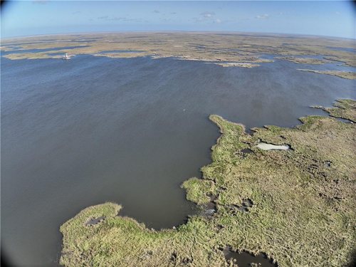
382 Acres of Marsh on Bayou la Loutre
The largest of four marsh tracts in St. Bernard Parish, at a little over $500 an acre.
 $25,000
15 photos
$25,000
15 photos
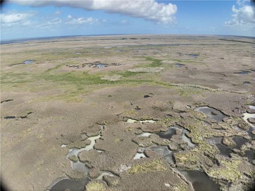
50 Acres of Marsh on Bayou la Loutre
Fifty acres of St. Bernard Parish marsh at a flat $500 an acre.
 $20,000
16 photos
$20,000
16 photos
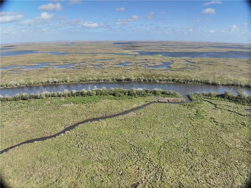
30 Acres of Marsh on Bayou la Loutre
Thirty acres in St. Bernard Parish, the smallest entry above the twenty-acre tract.
Questions about this parcel?
812-241-5653Ask about terms, request the documents on file, or arrange to walk the property.