160 Acres in Harney County With a New Well
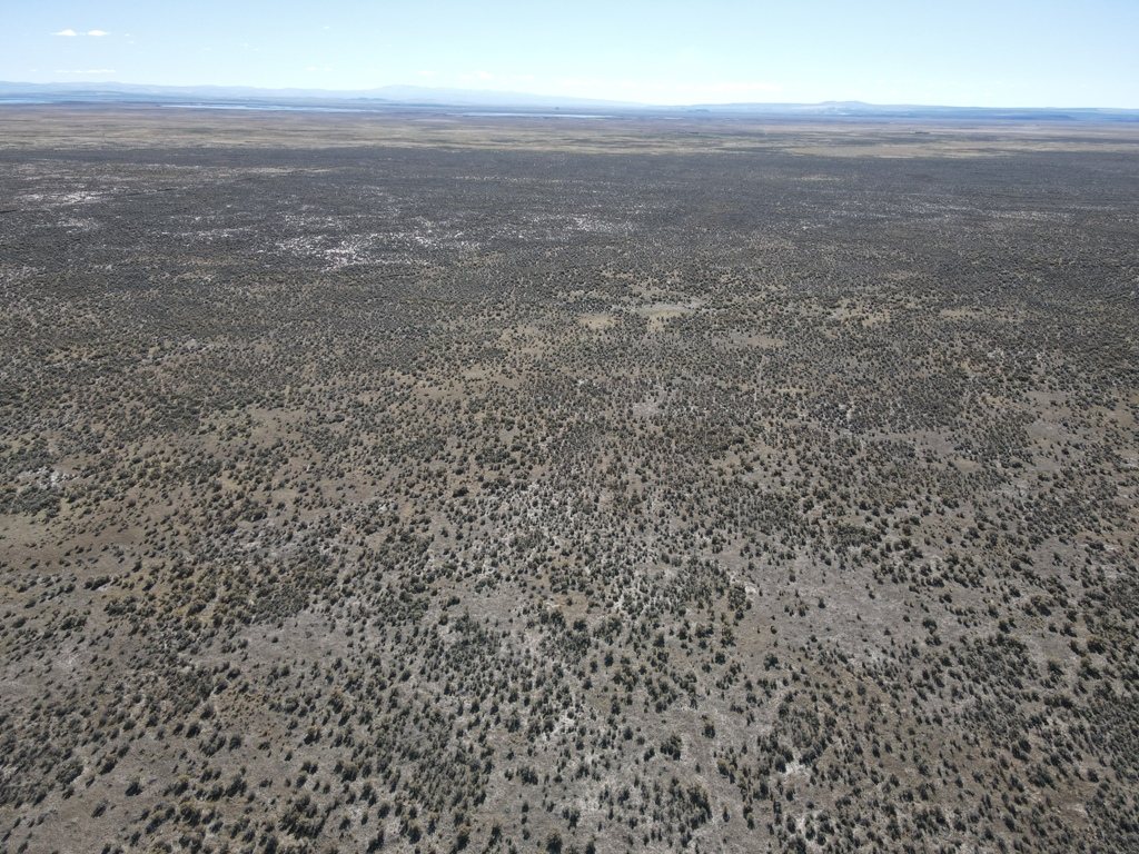
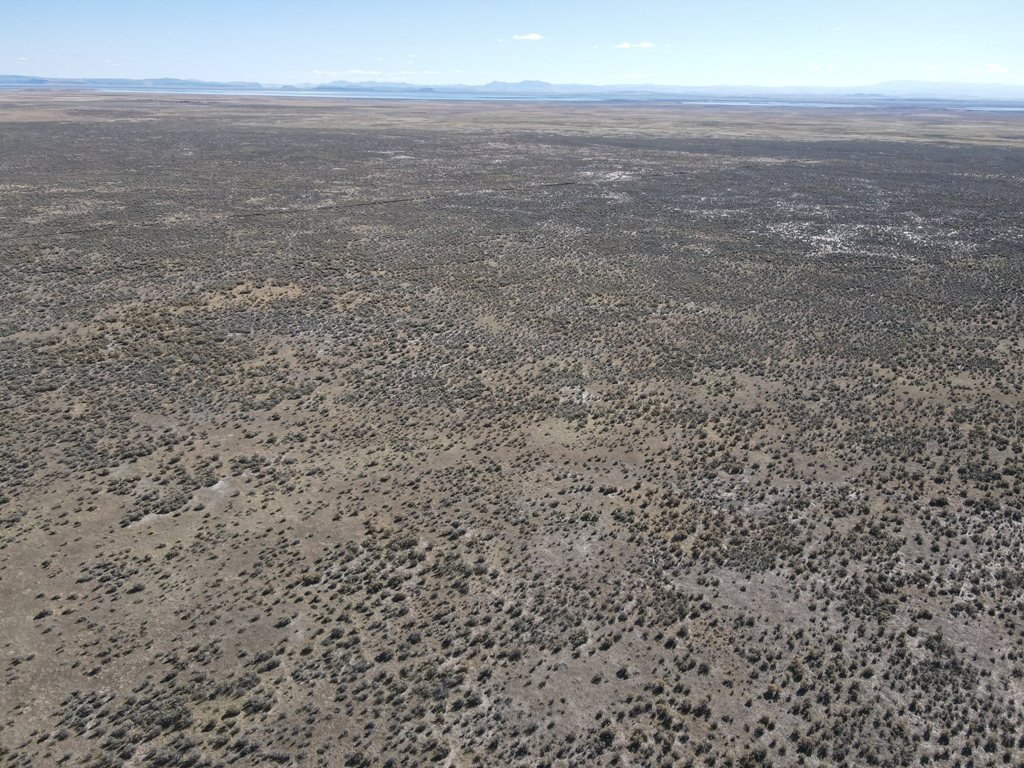
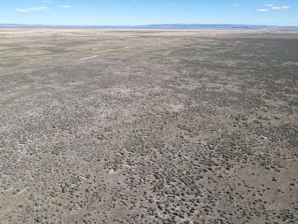
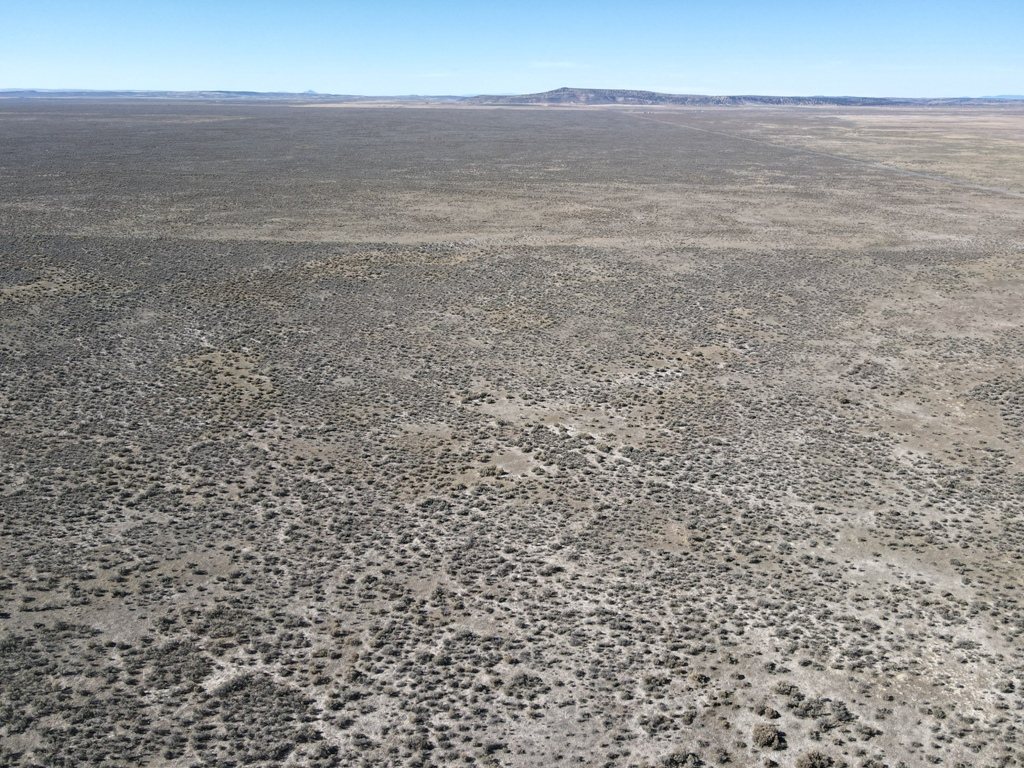
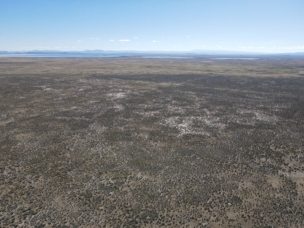
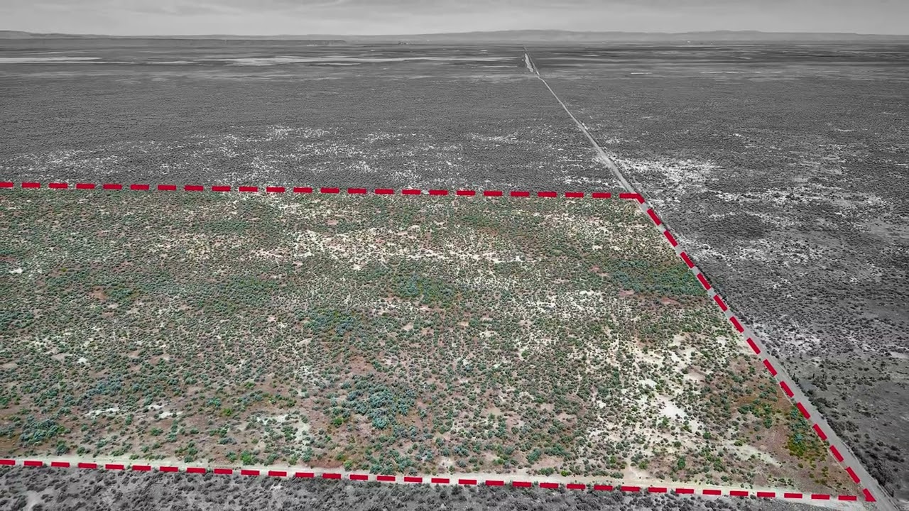
Most undeveloped acreage in Eastern Oregon is sold without any answer to the water question. This 160-acre tract has one. A well was drilled in late 2024, and both the well report and the water quality testing are already on file. In a county where water access often decides what a piece of ground is worth, that is the headline.
The terrain runs flat to gently rolling, which leaves several workable build or camp sites while keeping the long views open across the surrounding country. Neighbouring development is minimal. Harney County is among the largest and least populated counties in the western United States, and the dark skies and wildlife that come with that are much of the appeal.
Malheur Lake and the Malheur National Wildlife Refuge are nearby, and the wider area holds deer, pronghorn antelope, upland birds, waterfowl and small game. That suits a seasonal hunting basecamp or an outdoor retreat as readily as a homestead.
Taxes ran $199.61 for the year, which is a modest carry on 160 acres. An electric utility quote is on file for anyone planning development. An adjoining 40 acres at the northwest corner is also available separately.
What stands out
- 160 acres in Harney County
- Well drilled in late 2024 with water quality test on file
- Electric utility quote available for development planning
- Flat to gently rolling with multiple build sites
- Near Malheur Lake and the National Wildlife Refuge
- 2026 taxes of $199.61
- Adjoining 40 acres available separately
The details
| County | Harney County, Oregon |
|---|---|
| Zoning | EFRU-2 (Exclusive Farm and Range Use), Harney County |
| 2026 taxes | $199.61 |
| Water | Well drilled late 2024, quality test on file |
| Documents on file | Well report, water quality test, electric utility quote |
| Parcel number | 23222 |
| Tax lot | 25S32E000002000 |
| Access | Existing road off Ruh-Red Road; surveyor opinion on file that it is a public way |
| Survey opinion | Kenny Delano, OR PLS 49865, 19 March 2026, with a 20-foot easement description |
| Mineral, gas & water rights | Minerals not established; a domestic well was drilled late 2024, and commercial use would need a water right |
Before you buy this parcel
- Access has a surveyor's opinion behind it. Kenny Delano, Oregon PLS 49865, examined the road on 19 March 2026 and concluded it should be considered a public way: it leaves Ruh-Red Road, a county road, near the northeast corner of Section 29 and runs south across federal land to serve more than one private owner, and it is visible on aerial imagery back to 1994 - at least ten years before the adjoining patent issued in 2004. He notes it appears to be the only access to this land. His report includes a 20-foot wide easement description. An opinion is not a recorded easement, so verify it for your own purpose, but it is a good deal more than nothing.
- Zoning is EFRU-2, Exclusive Farm and Range Use. A dwelling is not permitted as of right in that district: Harney County requires an approved Farm Dwelling, Non-Farm Dwelling or Lot of Record Dwelling application first, and approval is not guaranteed. Treat any reference to building here as subject to that process and speak to Harney County Planning on (541) 573-6655 before you rely on it.
- Commercial use would require applying for water rights.
- No mineral examination has been made for this parcel. The well serves domestic use; a commercial use would require applying for a water right. Treat mineral ownership as unverified unless you check it.
Other parcels in Harney County
 $40,000
14 photos
$40,000
14 photos
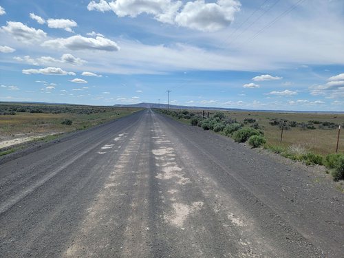
40 Acres of Eastern Oregon High Desert
Legal easement access already in place, power about a mile north, and an entry price of $1,000 an acre.
 $195,000
31 photos
$195,000
31 photos
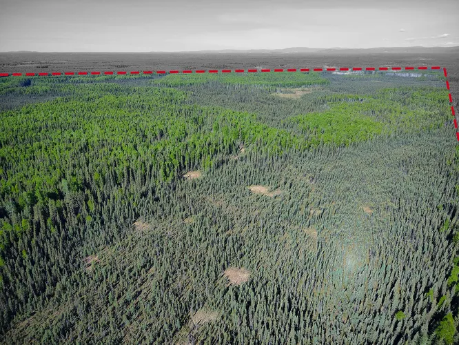
263 Acres of Uncut Timber West of the Chena River
Two adjoining parcels that have never been logged, in a pocket of the borough where almost nothing is privately held.
 $195,000
11 photos
$195,000
11 photos
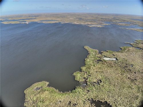
382 Acres of Marsh on Bayou la Loutre
The largest of four marsh tracts in St. Bernard Parish, at a little over $500 an acre.
Questions about this parcel?
812-241-5653Ask about terms, request the documents on file, or arrange to walk the property.