263 Acres of Timbered Agricultural Land West of the Chena River
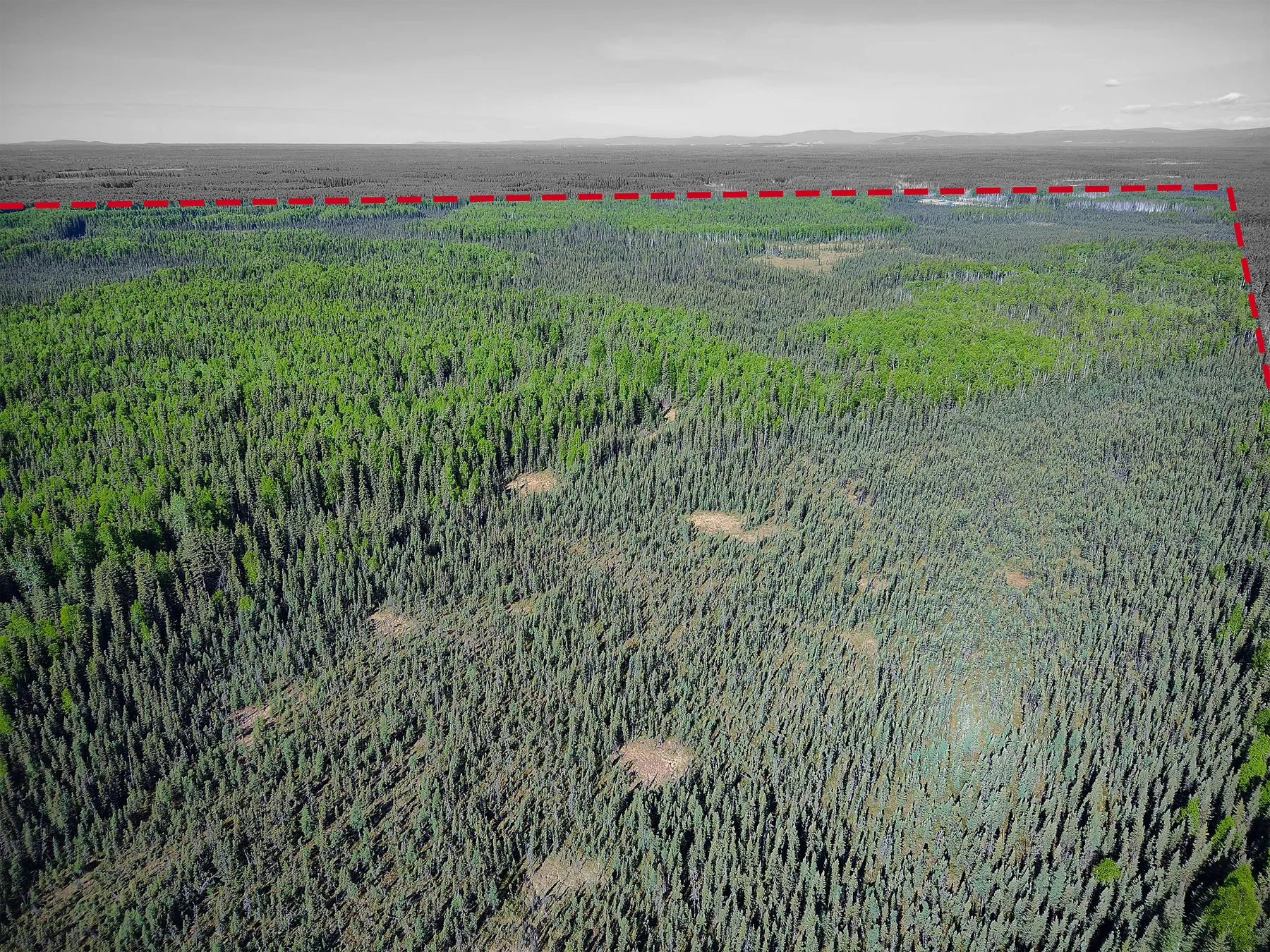
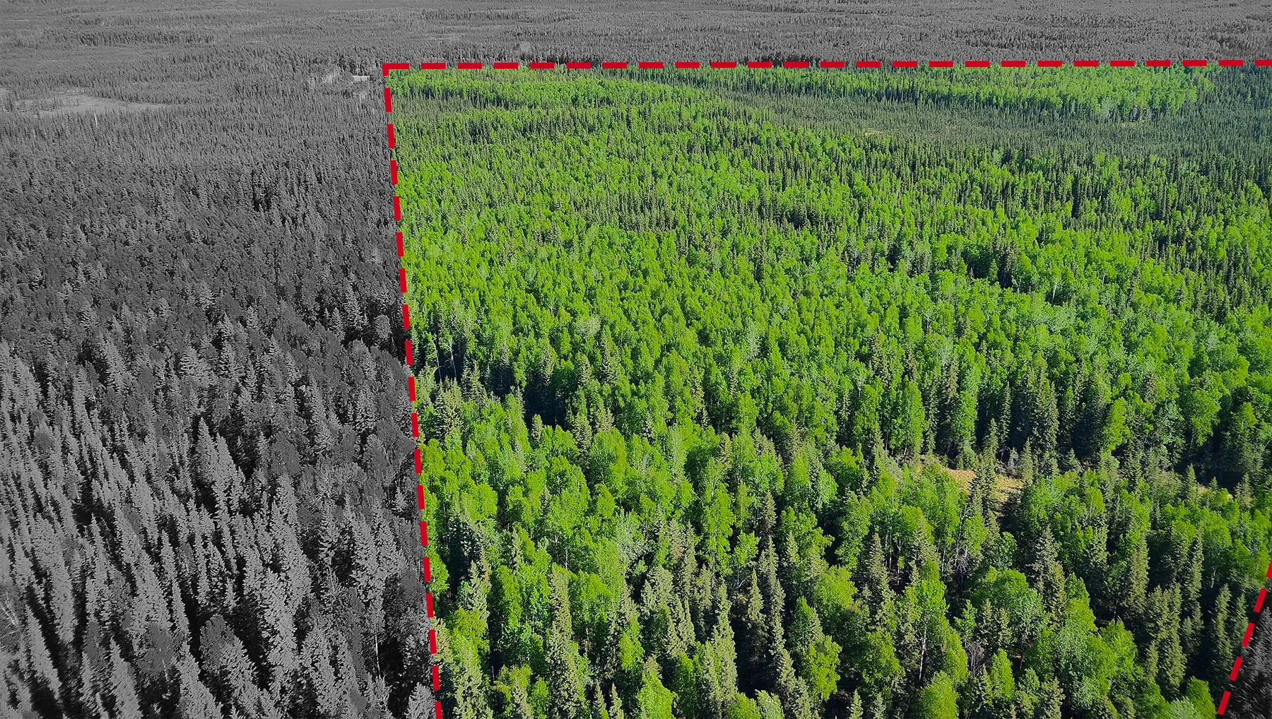
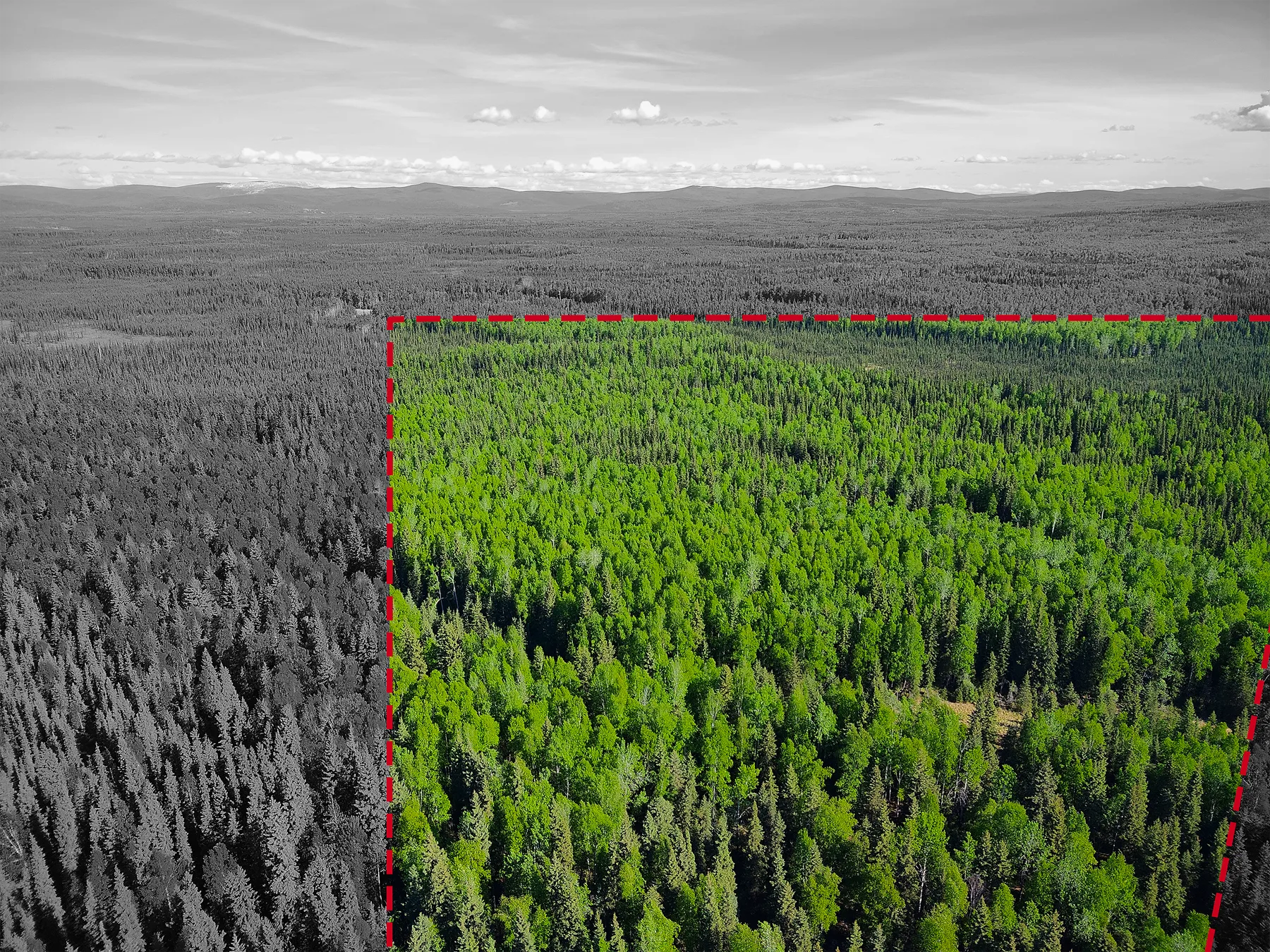
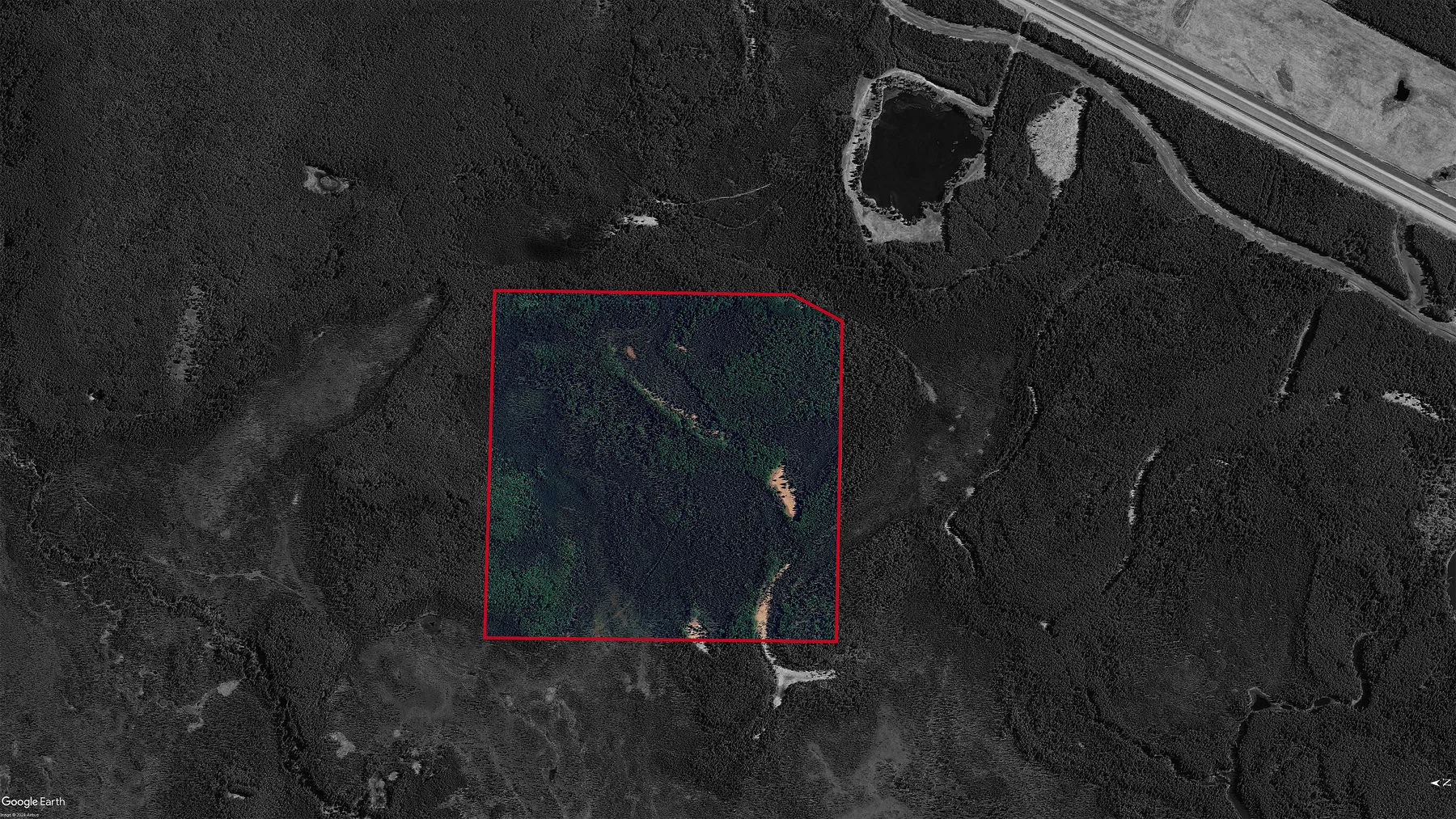
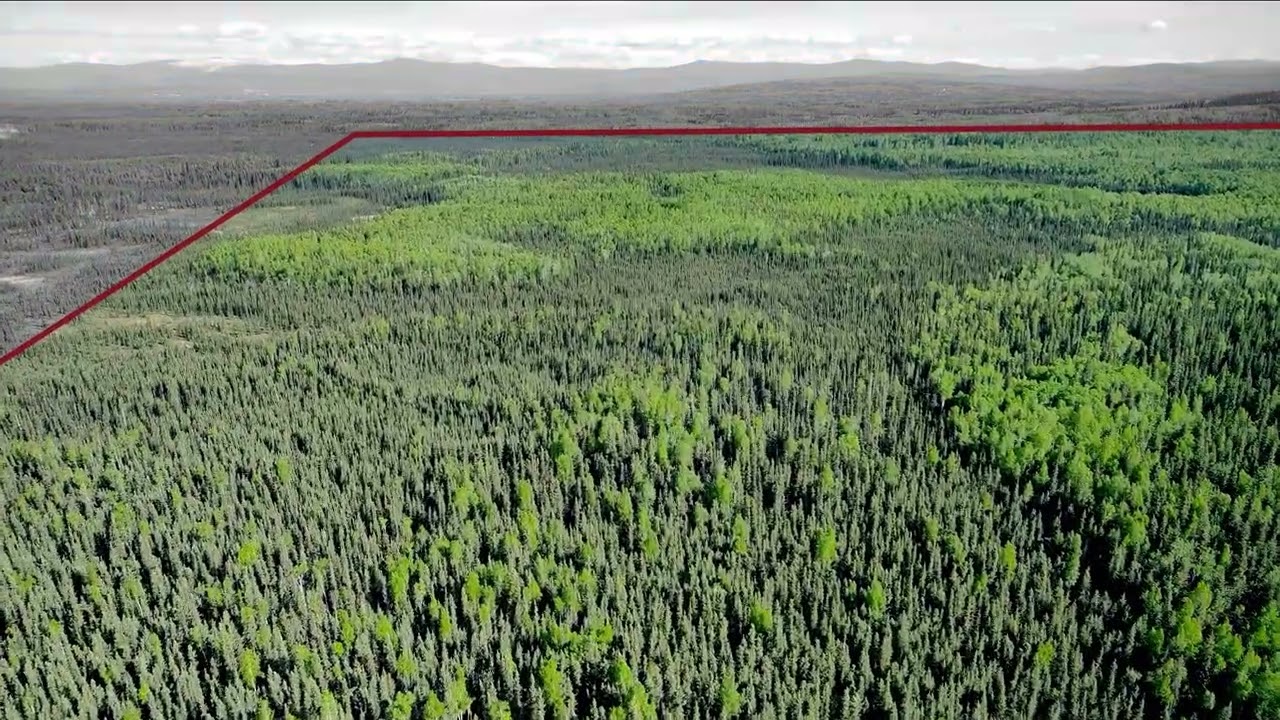
Privately held ground is scarce in this stretch of the Fairbanks North Star Borough, and ground that has never been logged is scarcer still. These two adjoining parcels cover 263.3 acres west of the Chena River, carrying mature standing timber documented in professional tree reports that come with the sale.
The title carries conditions that bind every owner. The State of Alaska conveyed this land under Agricultural Land Patent No. 14112, whose covenant runs with the land: the property may be used for agricultural purposes only, which can include personal residential use incidental to farm operations, and the owner must operate under a Farm Conservation Plan approved by the State. If the land is used for non-agricultural purposes, the State may enter and terminate the estate. The patent conveyed the surface estate only; the minerals stay with the State. The disclosures below set out the terms in full.
The location puts you within reach of the Chena River Lakes Flood Control Project, one of the better-known recreation draws east of Fairbanks, while the parcels themselves stay quiet and undeveloped. At $740 an acre this is priced for a buyer who wants scale rather than a finished homesite.
The borough zones the land GU-1, General Use-1, but zoning does not override the State patent: a borough permit does not make a non-agricultural use allowed under the covenant. Fairbanks Planning can confirm the zoning at (907) 459-1000; questions about the covenant go to the Alaska Department of Natural Resources.
The paperwork is unusually complete for land at this price. Tree reports, surveyor documents, Plat No. 86-90 showing how the tract was created, and aerial maps identifying boundaries and easements all transfer to the buyer. The patent itself is a public record, free to view through the State Recorder's Office: Fairbanks Recording District, document 1995-004428-0.
What stands out
- 263.3 acres across two adjoining parcels
- Held under a State of Alaska agricultural patent: agricultural use only, minerals reserved to the State
- Never harvested, with mature standing timber
- $740 per acre
- Statutory section line easements for access, under Alaska law
- Professional tree reports and surveyor documents included
- Plat No. 86-90 and aerial boundary maps included
- One of very few privately owned tracts in the area
Where it is
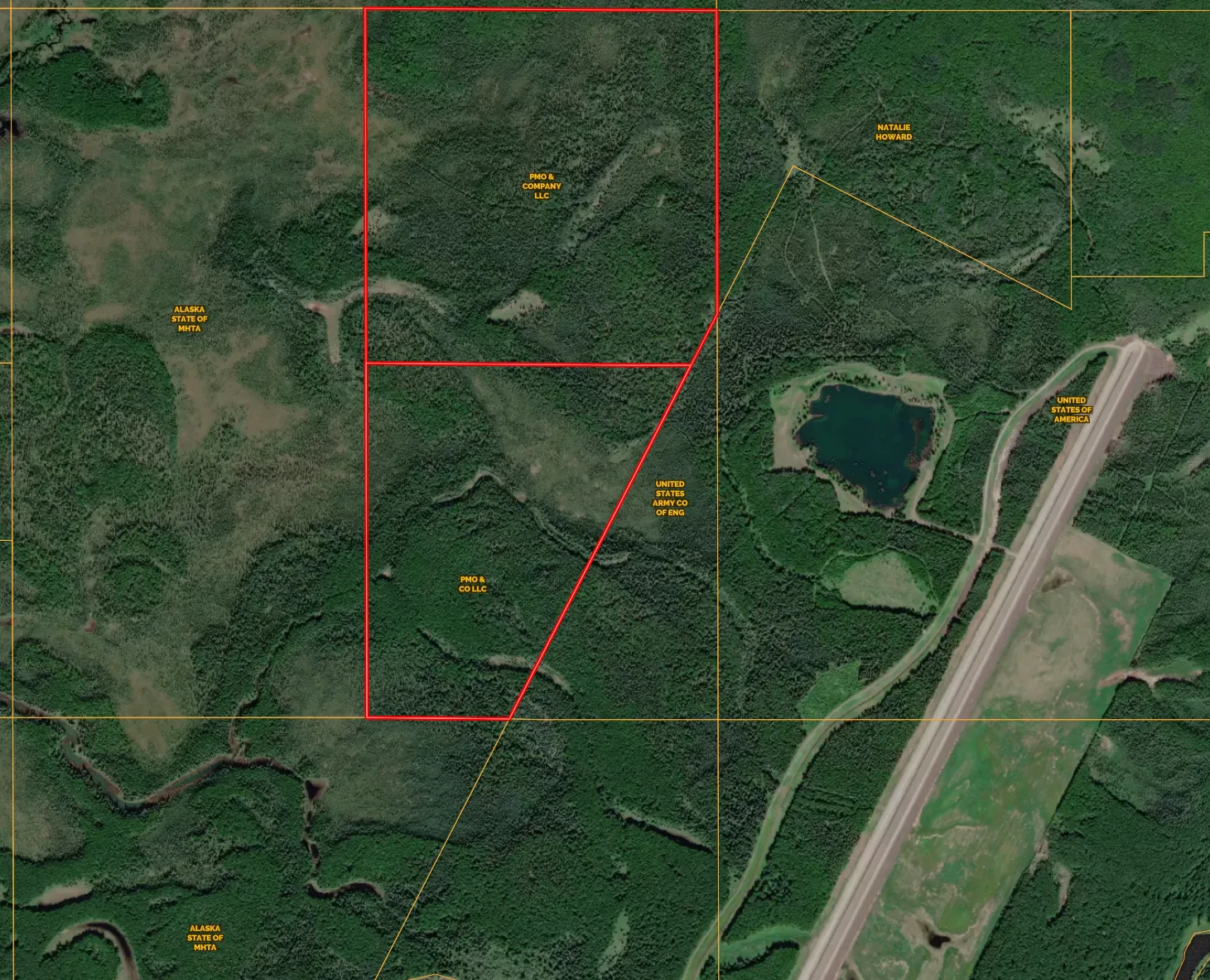
6.5 mi from North Pole · Boundary from the county parcel map
The details
| Borough | Fairbanks North Star Borough, Alaska |
|---|---|
| Parcel numbers | 0689394 and 0689402 |
| 2026 taxes | $2,341.84 |
| Price per acre | $740 |
| Zoning | GU-1, General Use-1 (Fairbanks North Star Borough); the State patent's agricultural covenant still governs use |
| Permitted use | Agricultural purposes only, under a covenant in the State patent that runs with the land; may include personal residential use incidental to farm operations, under a Farm Conservation Plan approved by the State |
| Tract sizes | Tract A 158.73 acres, Tract B 104.53 acres |
| Flood zones | Tract A entirely Zone X; Tract B 93.43 acres Zone X and 12.01 acres Zone A |
| Fire service | Not in a fire service area |
| Deed | Warranty deed recorded 14 June 2024, instrument 2024-006373-0 |
| State patent | Agricultural Land Patent No. 14112, dated 25 January 1995; recorded 21 March 1995 at Book 896, Page 297, document 1995-004428-0, Fairbanks Recording District |
| Termination right | The State may enter and terminate the estate if the land is used for non-agricultural purposes |
| 2025 assessed value | $184,282 across both tracts |
| Mineral, gas & water rights | Reserved to the State of Alaska. The patent conveyed the surface estate only and reserves all oil, gas, coal, ores, minerals, fissionable materials, geothermal resources and fossils, with rights of surface entry. Water rights have not been established. |
| Plat | Amended Plat 86-90, State of Alaska DNR supplemental cadastral survey, T1S R3E Fairbanks Meridian; surveyed 1979, recorded Fairbanks 7 July 1986 |
| Section line easements | 50 feet each side of every section line, reserved to the State of Alaska for public highways under AS 19.10.010 |
| Patent easements | 50-foot public access and utility easement (ADL 403474); 20-foot recreational trails easement (ADL 402378) |
Before you buy this parcel
- This land is held under State of Alaska Agricultural Land Patent No. 14112, dated 25 January 1995 and recorded 21 March 1995 at Book 896, Page 297 (document 1995-004428-0, Fairbanks Recording District). It traces to DNR case ADL 402578, a 1980 Two Rivers agricultural "rights only" auction. The patent conveys the surface estate only. The owner covenants to use the property for agricultural purposes only, which may include personal residential use incidental to farm operations, and to operate under a Farm Conservation Plan approved by the State. The covenant runs with the land, so it binds every later owner. The patent also sets a condition subsequent: if the property is used for non-agricultural purposes, the State may enter and terminate the estate. The borough's GU-1, General Use-1 zoning does not override the patent. A search of the recorder's index found no later State conveyance releasing these terms against Plat 86-90 Tract A. Borough records cite the patent as 896-297, which is its book and page, not a patent number.
- Minerals are not included. The patent reserves to the State of Alaska all oil, gas, coal, ores, minerals, fissionable materials, geothermal resources and fossils, with rights of surface entry, and the State keeps them even if an owner later acquires its remaining interests. The patent is also subject to a 50-foot public access and utility easement (ADL 403474) and a 20-foot recreational trails easement (ADL 402378), which stay in place either way. Water rights have not been established.
- The Alaska Department of Natural Resources sets out the options in its April 2016 fact sheet, Acquiring Fee Title on Agricultural Patents, Contracts, and Agricultural Homesteads. Agricultural patents issued before 5 August 1997 conveyed the agricultural interests only, and an owner may apply under Chapter 20, SLA 1997 to acquire the State's remaining interests. The land then stays under a perpetual covenant restricting it to agricultural purposes, and the right to construct housing generally has to be paid for; the fact sheet put that at $6,088 per parcel in 2016 dollars, adjusted annually. Subdivision is restricted as well. Confirm current terms and costs with the Department of Natural Resources before you rely on any of this.
- Whether harvesting or selling the standing timber counts as an agricultural purpose under the covenant has not been confirmed with the State. Ask the Department of Natural Resources before you plan a harvest or value the land on its timber.
- Access and encumbrance both come off the plat. Amended Plat 86-90 records that every section line carries a 50-foot easement on each side, reserved to the State of Alaska for public highways under AS 19.10.010. That is the statutory basis for reaching ground like this, and it is worth more here than a private easement would be - but it also means those strips along your section lines are encumbered and the State may open them as public way. The same plat notes a 50-foot pedestrian access easement running upland along the ordinary high water line of any water body or watercourse, which matters given the Chena River frontage.
- Flood zones differ between the two tracts. Tract A is entirely in Zone X, the borough's minimal-hazard designation. On Tract B, 12.01 of its 104.53 acres fall in Zone A, a special flood hazard area, with the remaining 93.43 acres in Zone X. Neither tract sits in a fire service area, which is worth knowing if you intend to build and insure.
- There is no road access to these parcels. An application to the US Army Corps of Engineers for a private road easement across the Chena River Lakes Flood Control Project was denied on 27 May 2026. Getting in means crossing Alaska Mental Health Trust land, or using the section line easements marked in green on the plat and aerial maps. The Trust Land Office lets the public onto Trust land on foot without a permit for day-use, non-commercial recreation, including hunting and fishing. Motorized travel there needs a Trust Land Office general permit (TLO Project 2019-171): it covers ATVs and snowmobiles up to 1,500 pounds curb weight on established roads and ATV trails, allows off-trail travel only in winter with enough snow cover, does not cover highway vehicles such as pickups, and can be revoked. The section line easements run 50 feet either side of the section line and can be developed without the Trust Land Office's permission, but anything more than a pedestrian trail should be raised first with the Alaska Department of Natural Resources, including its Public Access Assertion and Defense unit where a navigable water crossing is involved, and with the Fairbanks North Star Borough.
- Buyers should verify access, zoning and permitted uses independently before closing.
Other parcels around this money
 $195,000
11 photos
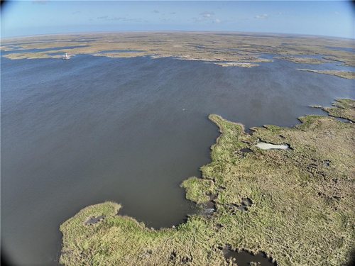
382 Acres of Marsh on Bayou la Loutre
The largest of four marsh tracts in St. Bernard Parish, at a little over $500 an acre.
 $175,000
36 photos
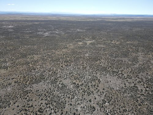
160 Acres in Harney County With a New Well
Water is the hard question on Eastern Oregon land. This tract answers it with a well drilled in July 2024 and test results on file.
 $85,000
21 photos
1.57 Acres on State Road 63 at County Road 200 E
Highway frontage on a main north-south corridor, zoned residential today, with a credible case for commercial later.
Questions about this parcel?
812-241-5653Ask about terms, request the documents on file, or arrange to walk the property.