40 Acres of Eastern Oregon High Desert
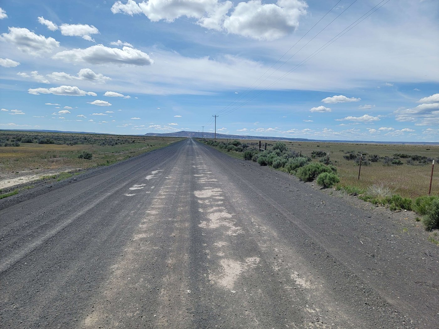
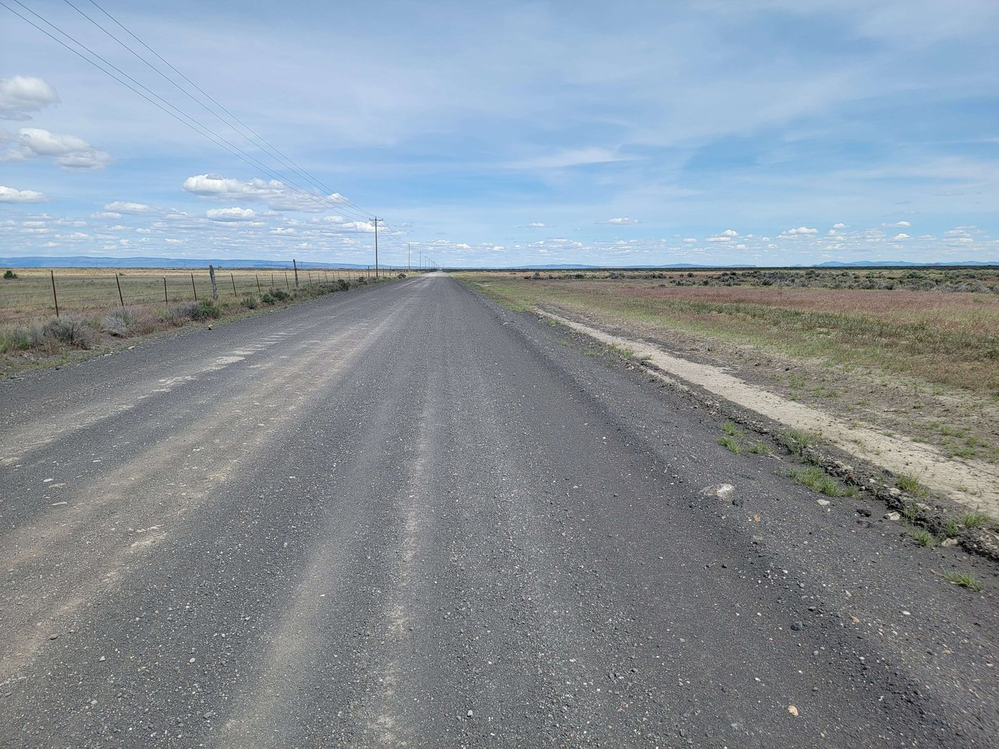
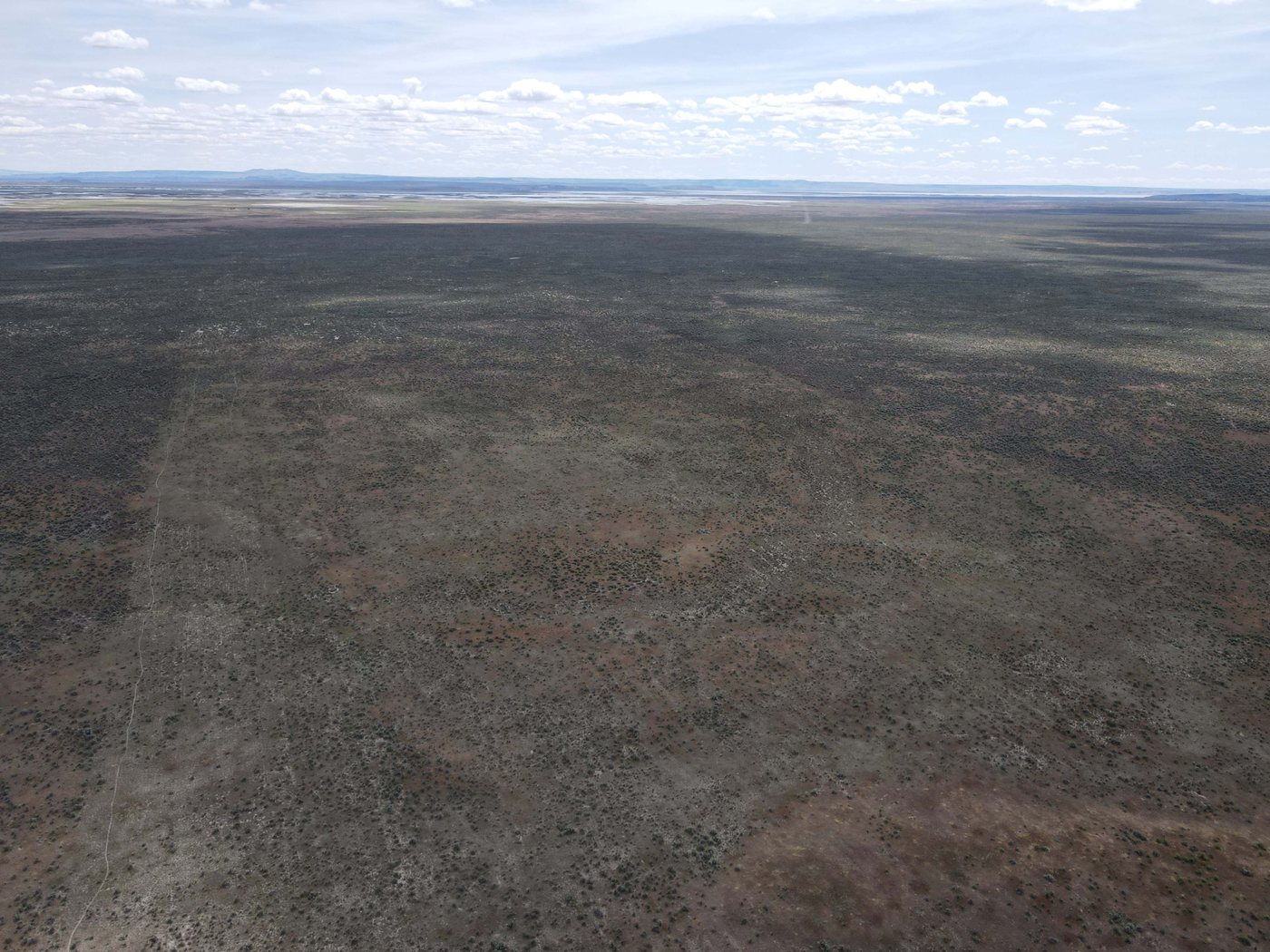
Forty acres of open high desert near Burns, priced at $1,000 an acre. What separates it from cheaper ground in the area is that the access question is already settled. The parcel carries a legal easement, so you are not buying a problem to solve later.
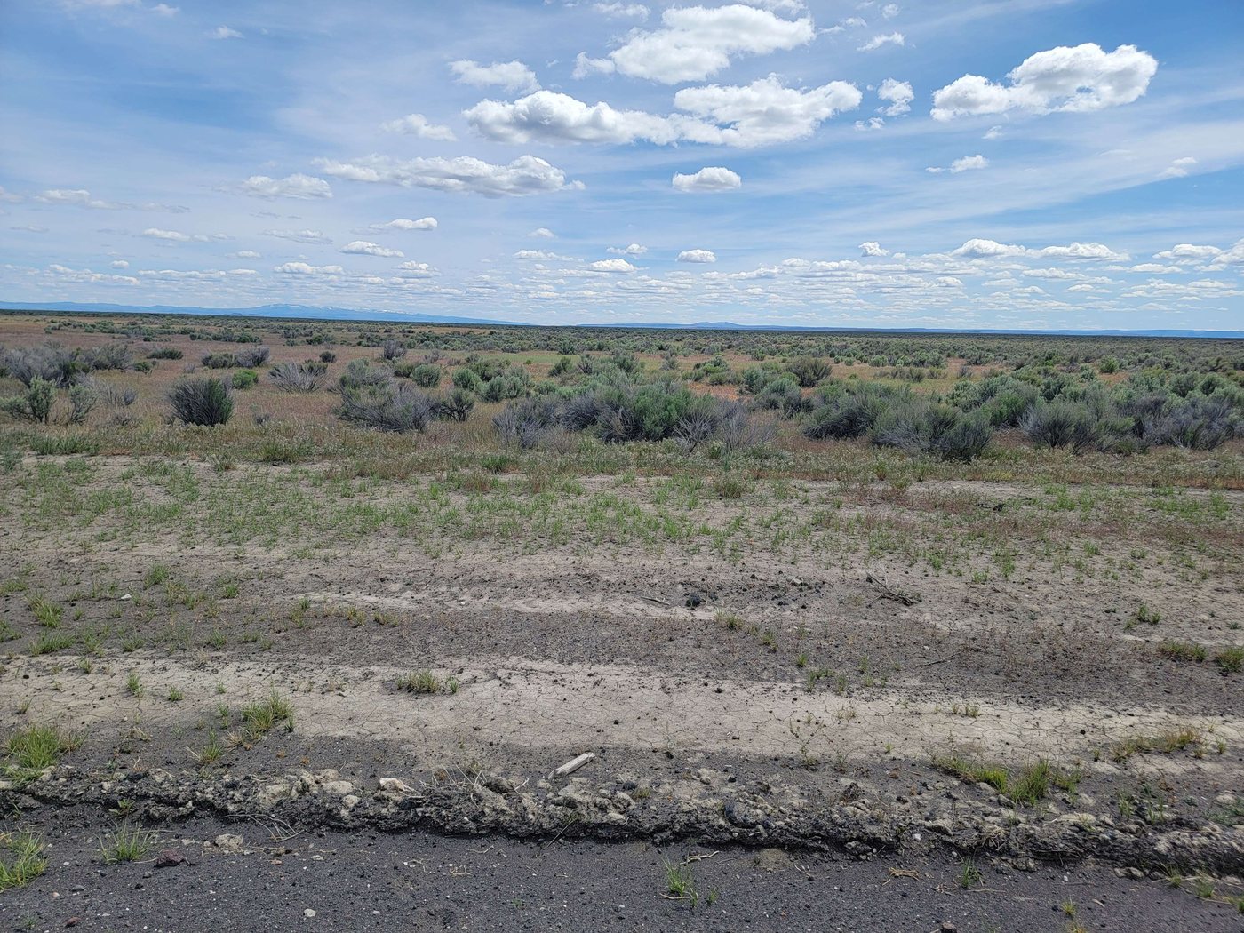
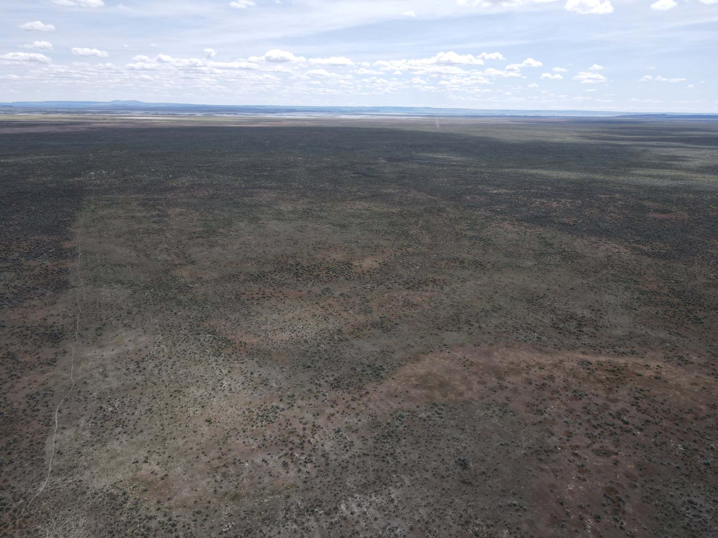
Power runs approximately one mile north of the boundary, which gives a realistic starting point for anyone thinking about development rather than a pure hold. No estimate has been obtained for this parcel, but the adjoining 160 has Harney Electric Cooperative's June 2024 letter published on its page - $66,779 for roughly 4,900 feet of new overhead line - which is at least a real number to reason from rather than a guess. The land itself is open desert with long views to the mountains, quiet, and well away from neighbours.
Burns is close enough for fuel, groceries, food and services, so the isolation is a choice rather than a constraint. The county allows a wide range of uses here, including grazing, hobby farming, a homestead, and hunting and fishing.
It works as a recreational base, an off-grid project or a long hold. An adjoining 160-acre tract with a new well is also available.
What stands out
- 40 acres near Burns in Harney County
- Legal easement access already in place
- Power approximately one mile north, with the neighbouring parcel's 2024 line extension estimate published
- Open high desert with mountain and desert views
- Suited to grazing, hobby farm, homestead, hunting and fishing
- RV parking permitted
- Adjoining 160 acres with a well available separately
Where it is
16 mi from Burns · Boundary from the county parcel map
The details
| County | Harney County, Oregon |
|---|---|
| Zoning | EFRU-2 (Exclusive Farm and Range Use), Harney County |
| Access | Legal easement |
| Power | Approximately 1 mile north. No estimate for this parcel; the adjoining 160's 2024 line extension estimate is published on its page |
| Price per acre | $1,000 |
| 2026 taxes | $89.32 |
| Parcel number | 23220 |
| Tax lot | 25S32E000002400 |
| Title company | AmeriTitle, Prineville; Chicago Title underwriter, file 1069694 |
| Tax account | 23220, Map 25S 32E 00 2400 |
| Mineral, gas & water rights | Oil, gas and minerals appear severed and are not included; water rights not established |
Before you buy this parcel
- Access is not insured. The owner's title policy on this parcel carries an express exception: notwithstanding the policy's covered risks, it does not insure against loss arising from any lack of a right of access to and from the land. Satisfy yourself on access independently before you close.
- Oil, gas and mineral rights appear to be severed and are not included. The preliminary title report lists a 1942 oil and gas lease and two later reservations of oil, gas and minerals - from George F. Kautz, recorded 1978 at Book 107/438, and from The Pacific Land and Livestock Company, recorded 1979 at Book 110/692 - each as to a full interest. The title company makes no representation as to who holds them now.
- No power estimate has been obtained for this parcel. The line extension estimate published on the adjoining 160-acre listing was worked up for a different run - approximately 4,900 feet south from pole F123 - and is offered here only as an order of magnitude. A run to this parcel's north boundary is shorter, roughly 2,600 feet, measured from the county parcel outline and the road centreline rather than surveyed, so the cost here could differ in either direction. That letter is dated 3 June 2024, expired 30 days later, and excluded any right-of-way or easement cost. Ask Harney Electric Cooperative on (541) 573-2061 for a figure for this parcel before you rely on one.
- Zoning is EFRU-2, Exclusive Farm and Range Use. A dwelling is not permitted as of right in that district: Harney County requires an approved Farm Dwelling, Non-Farm Dwelling or Lot of Record Dwelling application first, and approval is not guaranteed. Treat any reference to building here as subject to that process and speak to Harney County Planning on (541) 573-6655 before you rely on it.
- Buyers should verify acreage, zoning, permitted uses, utility connection costs and boundaries independently before closing.
- No water right is included or established for this parcel. Any use beyond what Oregon allows without a permit would need a water right from the Oregon Water Resources Department.
Other parcels in Harney County
 $175,000
36 photos
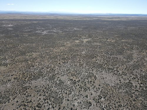
160 Acres in Harney County With a New Well
Water is the hard question on Eastern Oregon land. This tract answers it with a well drilled in July 2024 and test results on file.
 $45,000
11 photos
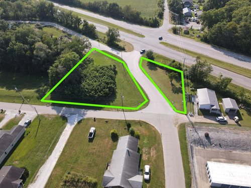
A Corner Lot Where Gilbert Street Meets State Road 63
Two thirds of an acre on a four-lane highway corner inside town, with city water, sewer and electric already there.
 $28,000
13 photos
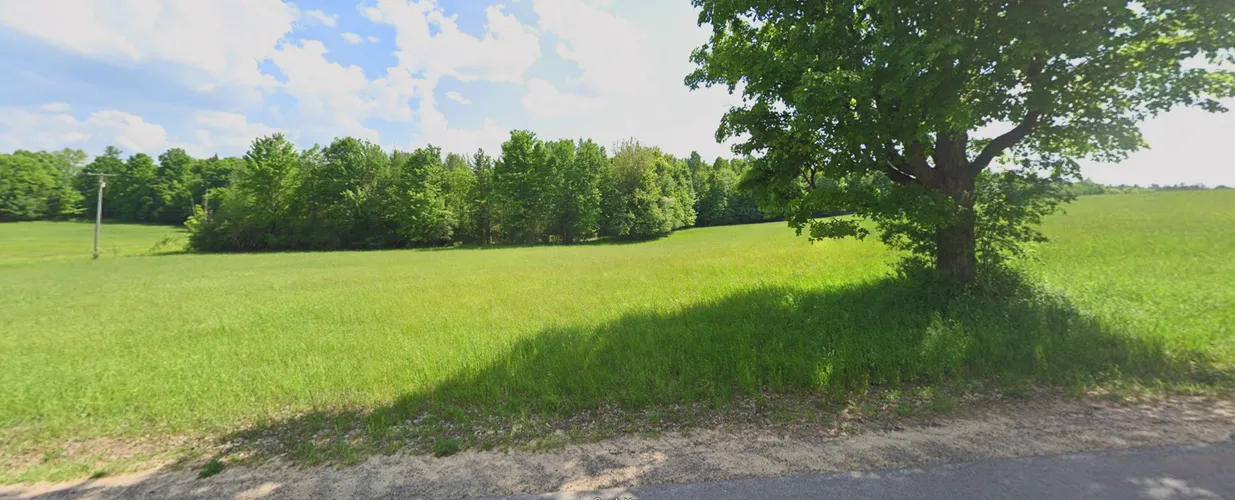
22.9 Acres Off Old Market Road
Swampland hunting ground in Saint Lawrence County, carrying a tax bill of under $100 a year.
Questions about this parcel?
812-241-5653Ask about terms, request the documents on file, or arrange to walk the property.